First my specs:
Debian GNU/Linux (testing) 64 bits
IM CLI usage (Bash)
Code: Select all
$ convert -version
Version: ImageMagick 6.8.9-9 Q16 x86_64 2016-06-01 http://www.imagemagick.org
Copyright: Copyright (C) 1999-2014 ImageMagick Studio LLC
Features: DPC Modules OpenMP
Delegates: bzlib djvu fftw fontconfig freetype jbig jng jpeg lcms lqr ltdl lzma openexr pangocairo png tiff wmf x xml zlibHere's the command I used (Bash):
Code: Select all
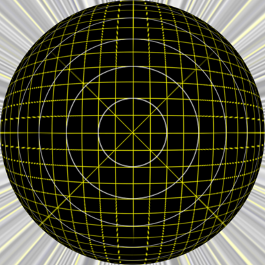
convert -monitor tmp/arctis_16k_cropped.mpc +distort DePolar '8192,0 8192,8192 -100.325' -resize 32768x8192\! tmp/arctis_kartesian.mpc
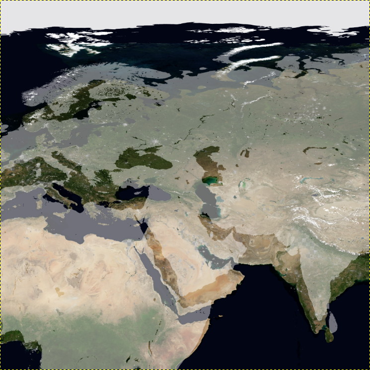
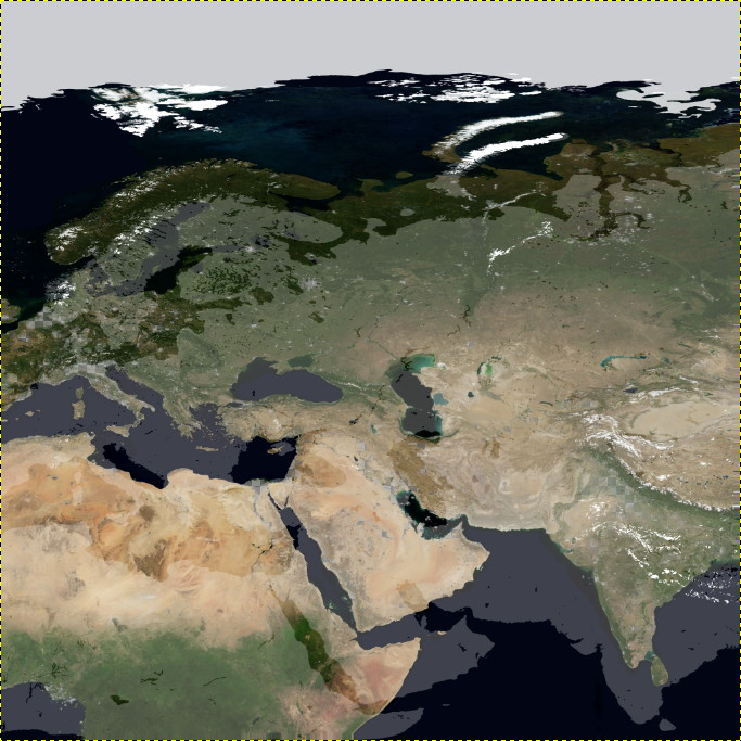
As you can see, the upper half of the ice-sheet overlay image should be stretched a little, and the lower half should be compressed a little in a rather smooth way. (I kept the continents in the overlay to see how I am coming into the right numbers. I'm still not perfectly on the right start angle, but pretty close.)
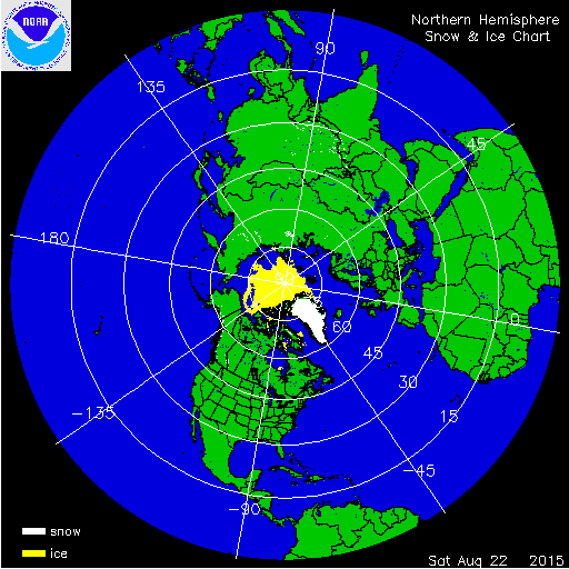
In case you wonder about the start angle, here's an explanatory mask of the data:

The 180° line (edges of the world map) is at about 100.325° from the center. I measured 45px up and 247px in to the center. which translates to 10.325° from horizontal + 90° to IM's zero line. This is a pretty rough estimate, since the real data is a GeoTIFF of 24576x24576 !!! And the documentation doesn't mention the exact angle at all
Are there any switches or options I can pass to the DePolar distortion? The documentation wasn't very forthcoming on the possible projection types (if there are any).
I hope someone can shed some light on this. I'm really running out of ideas.
Thanks
chris
Credits: all images are derived from NASA ( http://visibleearth.nasa.gov , https://nsidc.org/data/docs/noaa/g10005-masam2 MODIS )

